How to use drone deploy – How to use DroneDeploy? It’s easier than you think! This guide walks you through everything from setting up your account and planning flights to processing data and sharing your results. We’ll cover the basics, advanced features, and even troubleshoot common problems, so you can confidently use DroneDeploy for your next project, whether it’s a construction site inspection or a detailed land survey.
We’ll explore the intuitive DroneDeploy interface, guiding you through flight planning, data capture, processing, and analysis. Learn best practices for optimal results, and discover how to collaborate effectively with your team. By the end, you’ll be ready to leverage the power of drone technology to streamline your workflow and gain valuable insights from aerial imagery.
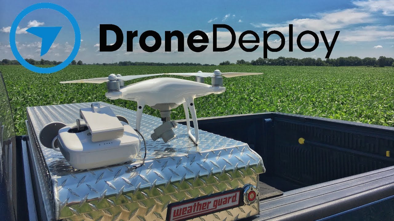
Getting Started with DroneDeploy
DroneDeploy is a powerful cloud-based platform for planning, flying, and analyzing drone data. This guide provides a step-by-step introduction to its core functionalities, from account creation to advanced data analysis. We’ll cover everything you need to know to get started efficiently and effectively.
DroneDeploy Platform Overview
The DroneDeploy platform features a user-friendly interface designed for both beginners and experienced users. Its core functionalities include flight planning, mission execution, data processing, and analysis tools. The interface is largely intuitive, with clearly labeled buttons and menus guiding you through each stage of the workflow. The dashboard provides a centralized view of your projects, flights, and data.
Creating a DroneDeploy Account and Email Verification
- Visit the DroneDeploy website and click on “Sign Up”.
- Fill out the registration form with your email address, password, and other required information.
- Check your inbox for a verification email from DroneDeploy. Click the link in the email to confirm your account.
- Once verified, you can log in and start exploring the platform.
Uploading and Organizing Flight Plans
DroneDeploy allows you to upload and organize your flight plans efficiently. This ensures easy access and management of your mission details.
- Navigate to the “Flights” section of the platform.
- Click on “New Flight Plan”.
- Define the area of interest by drawing a polygon on the map or uploading a shapefile.
- Specify flight parameters such as altitude, overlap, and camera settings.
- Save and name your flight plan. You can create folders to organize plans by project or location.
Planning Your Drone Flights
Careful flight planning is crucial for successful data acquisition. This section details best practices for designing efficient and safe drone flights.
Sample Flight Plan: Construction Site Inspection
For a construction site inspection, you might design a flight plan covering the entire site with sufficient overlap to ensure seamless image stitching. This would involve setting an appropriate altitude to capture the necessary detail while staying within safe operating limits. Consider multiple flight lines to cover areas with varying terrain or obstacles.
Optimal Flight Altitude and Overlap Settings
Optimal altitude and overlap depend on the desired level of detail and the size of the area being surveyed. Higher altitudes cover larger areas but with less detail. Greater overlap ensures better image stitching and reduces the risk of gaps in the final product. Experimentation and testing are key to finding the ideal balance for your specific needs.
Pre-flight Checks and Safety Considerations
Before each flight, perform thorough pre-flight checks including battery levels, GPS signal strength, and drone functionality. Always adhere to local regulations and safety guidelines. Check weather conditions and ensure you have appropriate clearances before launching your drone.
Flight Planning Options Comparison
| Option | Description | Pros | Cons |
|---|---|---|---|
| Automated Flight Planning | DroneDeploy automatically generates a flight plan based on your defined area and parameters. | Fast and efficient, minimizes manual input. | May not be optimal for complex terrains or obstacles. |
| Manual Flight Planning | You manually define flight lines and parameters. | Offers greater control and customization. | More time-consuming and requires greater expertise. |
| Polygon Flight Planning | Defines a flight plan based on a polygon drawn around the area of interest. | Suitable for various area shapes and sizes. | May require adjustments for complex terrains. |
| Waypoint Flight Planning | Allows you to define specific waypoints for the drone to follow. | Ideal for precise data capture in complex environments. | Requires more planning and expertise. |
Executing Drone Flights and Data Capture
This section guides you through the process of connecting your drone, initiating a flight, and monitoring the data acquisition process.
Connecting a Drone to the DroneDeploy App
Most modern drones integrate seamlessly with the DroneDeploy app. The process typically involves connecting to the drone’s Wi-Fi network, authorizing the connection, and ensuring the app recognizes the drone’s model and capabilities. The specific steps may vary depending on the drone manufacturer and model.
Getting started with drone mapping? It’s easier than you think! First, you’ll need to plan your flight path, then check the weather. Next, learn how to set up your drone and software; check out this great tutorial on how to use DroneDeploy to get a solid grasp of the process. Finally, process your data and analyze the results to make informed decisions.
Mastering how to use DroneDeploy unlocks a world of possibilities for efficient data collection.
Initiating and Monitoring a Flight
- Select the pre-planned flight mission in the DroneDeploy app.
- Ensure the drone is calibrated and ready to fly.
- Initiate the flight from within the app.
- Monitor the flight progress in real-time on the app’s map interface. This includes battery level, GPS signal, and flight path adherence.
- Upon completion, review the flight logs for any anomalies.
Troubleshooting Common Issues
- GPS Signal Loss: Ensure clear skies and a strong GPS signal before takeoff. Relocate if necessary.
- Battery Issues: Always use fully charged batteries and monitor battery levels during the flight.
- Software Glitches: Restart the app and drone if necessary. Check for software updates.
- Connectivity Problems: Ensure a stable internet connection for data upload.
Tips for High-Quality Image Capture
- Maintain consistent altitude and speed during the flight.
- Ensure optimal overlap settings to guarantee seamless image stitching.
- Avoid flying in harsh weather conditions.
- Use the highest resolution settings your camera allows.
Processing and Analyzing Drone Data

DroneDeploy simplifies the process of transforming raw drone imagery into valuable insights. This section covers data upload, processing, and analysis tools.
Uploading Flight Data to the Cloud
Once the flight is complete, the data is automatically uploaded to the DroneDeploy cloud. The upload speed depends on the size of the data set and your internet connection. DroneDeploy will notify you once the upload is complete.
Image Processing for Orthomosaic and 3D Modeling
DroneDeploy automatically processes the images to create orthomosaics (georeferenced maps) and 3D models. The processing time depends on the size of the dataset. You can monitor the progress and download the processed data once it’s ready.
Data Analysis Tools
DroneDeploy offers various data analysis tools, including measurement tools for area calculation, distance measurement, volume estimation, and other functionalities depending on the subscription level.
Comparison of Map Types
Orthomosaics provide a 2D view of the area, ideal for planimetric measurements and visual inspection. Point clouds offer a 3D representation of the terrain, useful for creating digital elevation models and volume calculations. The choice depends on the specific analysis requirements.
Sharing and Collaborating on Projects
DroneDeploy facilitates seamless collaboration among team members and stakeholders. This section details methods for data sharing and project management.
Exporting and Sharing Processed Data
Processed data can be exported in various formats, including orthomosaics, 3D models, and point clouds. These can be shared via email, cloud storage, or directly within the DroneDeploy platform.
Collaboration Features, How to use drone deploy
DroneDeploy allows multiple users to access and collaborate on projects. User roles and permissions can be customized to control access levels and data sharing.
Managing Multiple Users and Permissions

The platform offers granular control over user roles and permissions. You can assign different roles (e.g., administrator, viewer, editor) with varying levels of access to projects and data.
Effective Communication Strategies
Utilize the platform’s annotation and commenting features to facilitate communication and feedback among team members. Regular project updates and clear communication protocols ensure efficient collaboration.
Advanced DroneDeploy Features
DroneDeploy offers advanced features to enhance workflow efficiency and data analysis capabilities.
Progress Tracking and Reporting
The platform provides tools for tracking project progress, generating reports, and visualizing key performance indicators (KPIs).
Software Integrations
DroneDeploy integrates with other software applications, enabling seamless data transfer and workflow automation. Examples include GIS software and project management tools.
Mobile App for On-Site Data Review
The DroneDeploy mobile app allows for on-site data review and analysis, facilitating immediate feedback and decision-making.
Types of Measurements and Analysis
- Area calculations
- Volume estimations
- Distance measurements
- Height calculations
- 3D model generation
- Orthomosaic creation
- Change detection analysis
Illustrative Example: Site Survey

Imagine surveying a proposed solar farm site. Pre-flight planning would involve defining the site boundaries using DroneDeploy’s mapping tools, setting optimal altitude and overlap for high-resolution imagery, and checking weather conditions. The flight itself would be executed using the DroneDeploy app, with real-time monitoring of battery levels and GPS signal. Post-flight, the data would be automatically uploaded to the cloud for processing.
Planning your drone flight? Getting started with DroneDeploy is easier than you think! First, you’ll want to familiarize yourself with the software’s interface, then check out this awesome guide on how to use DroneDeploy to master flight planning and data processing. Once you’ve grasped the basics, you’ll be creating professional-quality maps and 3D models in no time using DroneDeploy’s powerful features.
The resulting orthomosaic would provide a detailed, georeferenced map of the site, highlighting terrain features and potential obstacles. The 3D model would allow for accurate volume calculations and visualization of the site’s topography, aiding in site selection and planning. Key features such as existing vegetation, potential access roads, and elevation changes would be clearly visible, enabling informed decisions about the project’s feasibility and optimal layout.
Mastering DroneDeploy opens a world of possibilities for efficient data collection and analysis. From simple flight planning to sophisticated 3D modeling, you now possess the knowledge to harness the full potential of this powerful platform. Remember to practice safe drone operation and utilize the various features to optimize your workflow. Happy flying!
FAQ Explained: How To Use Drone Deploy
What types of drones are compatible with DroneDeploy?
DroneDeploy supports a wide range of drones, but compatibility varies. Check their website for a current list of supported models.
How much does DroneDeploy cost?
DroneDeploy offers various subscription plans with different features and pricing. Visit their website for the most up-to-date pricing information.
Can I use DroneDeploy offline?
No, DroneDeploy requires an internet connection for most functionalities, including flight planning, data processing, and sharing.
What kind of training or support does DroneDeploy provide?
DroneDeploy offers various resources, including tutorials, documentation, and webinars to help users learn the platform. They also provide customer support.